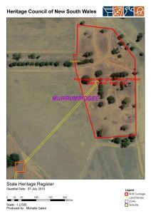
The aerial photo map shows the boundary of the Warangesda Heritage Listing in 2010. It includes the core area where buildings were located and the smaller area in the bottom left which is a known cemetery site.
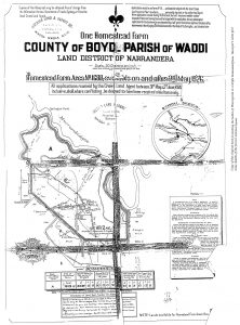
Boundary of the Warangesda Station
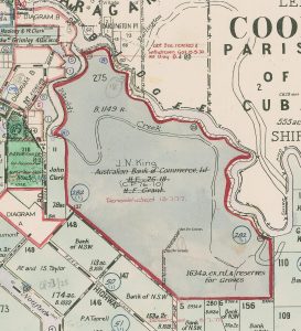
Parish map showing Warangesda Station